Geological Survey and Point Scanning help identify scientifically suitable drilling locations by analyzing subsurface geological formations and groundwater potential. Borewell failures often occur due to random drilling without understanding lithology, fractures, or aquifer conditions.
Our service begins with a detailed review of regional geology, followed by on-site surveys and geophysical point scanning techniques. By interpreting subsurface conditions accurately, we recommend optimal drilling points with improved probability of groundwater success. This reduces financial risk, prevents unnecessary drilling, and ensures informed groundwater development decisions for farmers, developers, and institutions.
Our Implementation Process
01
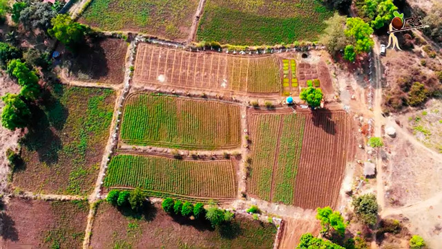
GIS-Based Mapping & Regional Analysis
We review geological maps, topography, drainage patterns, lithology, and regional hydrogeological data to understand surface subsurface conditions.
02
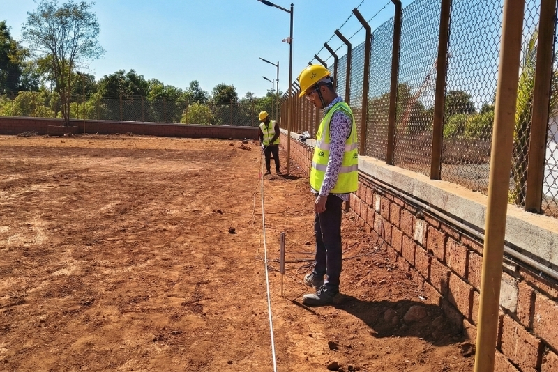
Field Work & Primary Data Collection
Our team conducts on-site inspections, geological observations, well inventory surveys, and point scanning using appropriate geophysical techniques to gather accurate ground-level data.
03
Data Interpretation & Site Selection
Collected geological and geophysical data are analyzed to identify fracture zones, weathered formations, and aquifer-bearing strata suitable for drilling.
04
Reporting & Drilling Recommendations
We provide a structured technical report with scientifically recommended drilling locations, depth suggestions, and guidance to reduce borewell failure risk.
FAQs
Who should opt for this service?
Farmers, residential landowners, industries, developers, institutions, and infrastructure projects planning new borewells can benefit from geological survey and point scanning.
What is point scanning?
Point scanning uses geophysical techniques to assess underground formations and detect zones that may contain groundwater, supporting informed drilling decisions.
Does this service guarantee water availability?
While no method can guarantee groundwater, scientific survey significantly increases the probability of identifying productive drilling locations.
How long does the survey take?
Depending on site size and conditions, surveys are typically completed within one to two days, followed by data interpretation and reporting.