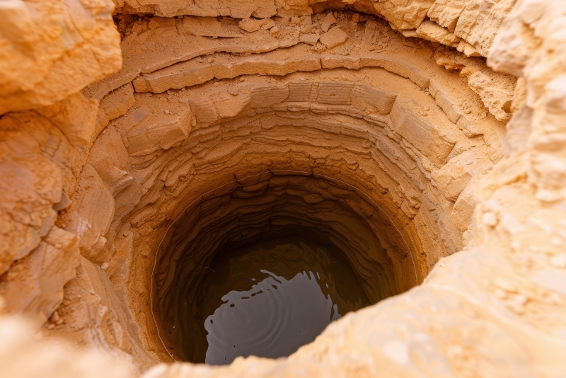
Aquifer mapping helps you understand what lies beneath your land before making water-related decisions. It is a scientific process of identifying groundwater-bearing formations, recharge zones, storage capacity, and flow patterns within an area.
Our process begins with GIS-based spatial analysis and review of geological, hydrological, and topographical data. This is followed by field investigations, including lithological assessments, well inventory surveys, and hydrogeological studies. We then analyze the data to delineate aquifer boundaries, recharge potential zones, and sustainable extraction limits. The final outcome includes detailed maps, technical reports, and strategic recommendations for groundwater management.
With accurate aquifer mapping, stakeholders can reduce drilling risks, plan recharge interventions effectively, prevent over-extraction, and ensure long-term groundwater sustainability. It transforms invisible subsurface resources into clear, actionable intelligence.
Our Implementation Process
01
Data Compilation
We collect and review geological maps, borewell data, rainfall records, satellite imagery, and existing hydrogeological reports for baseline understanding.
02
GIS & Spatial Analysis
Using advanced GIS tools, we analyze terrain, drainage, lithology, land use, and recharge characteristics to identify aquifer boundaries and potential zones.
03
Field Investigation
Our hydrogeologists conduct site visits, well inventory surveys, litholog validation, and groundwater assessments to verify spatial findings on ground.
04
Aquifer Delineation & Reporting
We prepare detailed aquifer maps, recharge potential analysis, sustainable yield recommendations, and a comprehensive technical report for informed decision-making.
Case Studies
Hydrogeological
Investigation and Water
Stagnation Analysis
Conducted For: Tata Steel BSL Limited
Project Location: Villages Nifan and Sarvoli, Khopoli-Pen Road, Taluka-Khalapur, near Khopoli, Maharashtra
Without understanding the subsurface, groundwater extraction becomes risky and unsustainable. Aquifer mapping reduces drilling failures, prevents over-extraction, and supports long-term water security planning.
Who should opt for aquifer mapping?
Aquifer mapping is valuable for villages, industries, infrastructure projects, government agencies, CSR initiatives, and agricultural communities seeking sustainable groundwater management.
What information does aquifer mapping provide?
It provides detailed maps showing aquifer extent, depth, recharge potential zones, groundwater flow patterns, and recommended sustainable yield limits.
How long does an aquifer mapping study take?
The duration depends on the project size, but typically includes data analysis, field investigation, and reporting over a few weeks.
What are the long-term benefits of aquifer mapping?
It enables informed water governance, sustainable groundwater use, reduced environmental risks, improved recharge planning, and enhanced resilience against water scarcity.