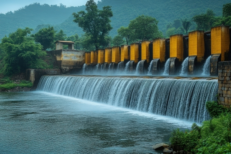
Watershed management focuses on managing rainwater where it naturally falls, ensuring that it is absorbed into the ground instead of being lost as runoff. Our process begins with a detailed site assessment, including topography analysis, soil study, rainfall patterns, and drainage mapping. Based on this scientific evaluation, we design appropriate interventions such as contour bunding, recharge trenches, check dams, percolation pits, and water storage structures.
We then support structured implementation and monitoring to ensure long-term effectiveness. By slowing down, storing, and channeling rainwater efficiently, we help increase groundwater recharge, reduce soil erosion, improve water availability, and build climate-resilient landscapes that benefit both communities and ecosystems for years to come.
Our Implementation Process
01
Spatial Intelligence
We conduct GIS-based mapping and terrain analysis to understand watershed characteristics, drainage patterns, land use and potential recharge zones.
02
Field Assessment
Our team performs on ground surveys, hydrogeological investigations and primary data collection to validate spatial findings and assess real site conditions.
03
Strategic Planning
We analyze collected data to identify suitable intervention locations, design recharge structures and optimize solutions for maximum groundwater impact.
04
Execution & Reporting
We deliver detailed technical reports and oversee construction of scientifically designed recharge interventions, ensuring quality implementation and measurable water sustainability outcomes.
Case Studies
Hydrogeological Investigation
for Sustainable Watershed
Management
Conducted For: Lupin Human Welfare and Research Foundation
Project Location: Kannad Taluka, District Aurangabad, Maharashtra
Watershed management helps tackle water scarcity, soil erosion, falling groundwater levels, and irregular rainfall impacts. It ensures rainwater is captured, stored, and recharged properly to improve long-term water availability.
Is watershed management suitable for my village or project area?
If your area faces declining water levels, drought conditions, soil degradation or seasonal water shortages, watershed management can significantly improve local water security and land productivity.
What kind of results can we expect?
You can expect improved groundwater recharge, better soil moisture retention, increased agricultural productivity, reduced flooding risks and more reliable water availability over time.
How long does a watershed project take?
The assessment and planning phase typically takes a few weeks, while implementation depends on project size. Visible improvements in water levels and vegetation may be seen within one to two monsoon cycles.
How do you ensure the project is successful?
We combine scientific mapping, field assessments and structured monitoring. Success is measured through groundwater level changes, improved crop yield, soil health and community participation.